Thank you for your patience while we retrieve your images.
EcoFlight
Home
|
All My Photos
|
Recently Added
|
Featured
|
Search
|
Guestbook
|
About
|
Contact
Home
»
All Photographs
»
EcoFlight Photo
»
2011 Photos
»
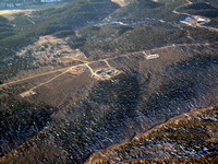
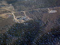
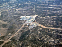
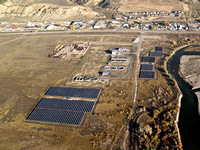
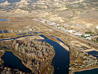
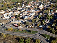
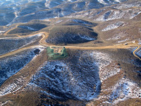
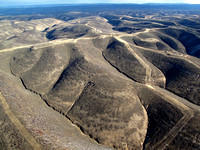
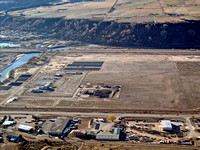
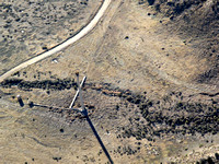
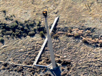
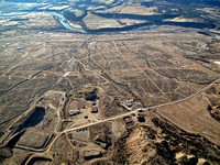
11_10_11 Oil Shale Colorado
Created
11-Nov-11
Modified
30-Oct-23
Visitors
133
45
photos
© EcoFlight