Thank you for your patience while we retrieve your images.
EcoFlight
Home
|
All My Photos
|
Recently Added
|
Featured
|
Search
|
Guestbook
|
About
|
Contact
Home
»
All Photographs
»
EcoFlight Photo
»
2016 Photos
»
6_13_2016_ut_vernal_oil shale_enefit
Taken
13-Jun-16
Visitors
33
17
of
39
photos
Thumbnails
Info
Photo Info
Dimensions
6000 x 4000
Original file size
12.6 MB
Image type
JPEG
Color space
sRGB
Date taken
13-Jun-16 10:26
Date modified
14-Jun-16 12:51
Shooting Conditions
Camera make
SONY
Camera model
SLT-A65V
Focal length
18 mm
Focal length (35mm)
27 mm
Max lens aperture
f/3.5
Exposure
1/250 at f/13
Flash
Not fired, auto mode
Exposure bias
0 EV
Exposure mode
Auto
Exposure prog.
Normal
ISO speed
ISO 100
Metering mode
Pattern
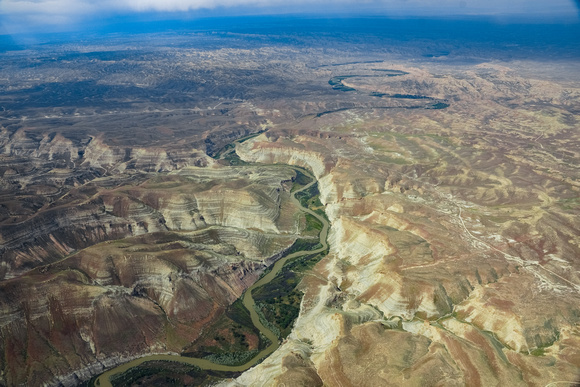
White River south of Bonanza, UT Enefit proposed oil shale corridor (1 of 1)-3
© EcoFlight