Thank you for your patience while we retrieve your images.
EcoFlight
Home
|
All My Photos
|
Recently Added
|
Featured
|
Search
|
Guestbook
|
About
|
Contact
Home
»
All Photographs
»
EcoFlight Photo
»
2013 Photos
»
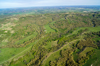
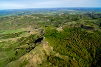
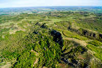
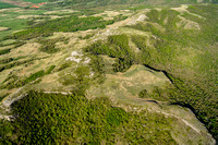
6_2_2013_ND_Dickinson_KilldeerMTNS_WildernessProposal
Created
3-Jun-13
Modified
30-Oct-23
Visitors
45
38
photos
© EcoFlight