Thank you for your patience while we retrieve your images.
EcoFlight
Home
|
All My Photos
|
Recently Added
|
Featured
|
Search
|
Guestbook
|
About
|
Contact
Home
»
All Photographs
»
EcoFlight Photo
»
2016 Photos
»
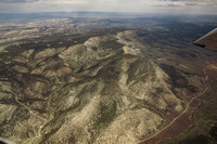
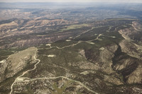
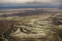
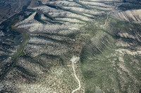
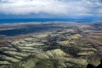
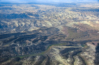
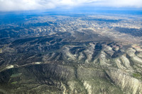
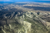
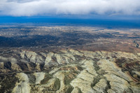
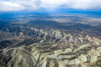
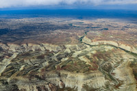
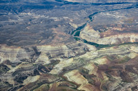
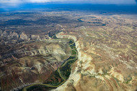
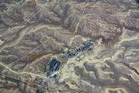
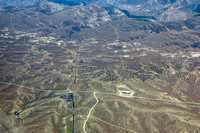
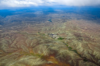
6_13_2016_ut_vernal_oil shale_enefit
Created
14-Jun-16
Modified
30-Oct-23
Visitors
47
39
photos
© EcoFlight